
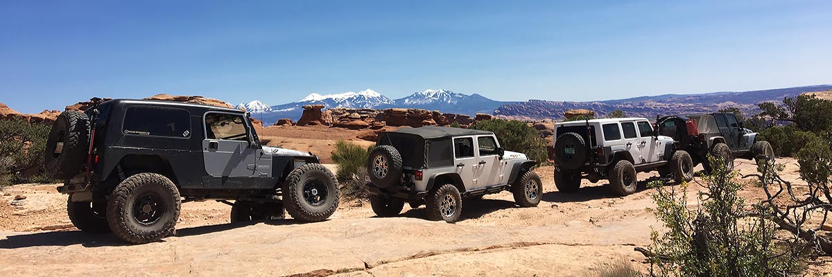

Day Canyon Point
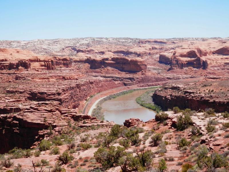
Beautiful Day Canyon Point is accessed from the Island in the Sky area from a point near Dead Horse Point state park, descends a bumpy five miles to an overlook of the Colorado River at a section of the river called Lake Bottom. The trail retraces the route on its return, so all the short drops become obstacles that must be ascended to return to the well traveled Deadhorse Point Road. This trip is designed to be a pleasant family style scenic trip for those that pay attention to the ratings and bring an appropriate vehicle and driving skills to match. Those looking for Yahoo Jeeping will be disappointed, and novices are advised to choose a different trip also.
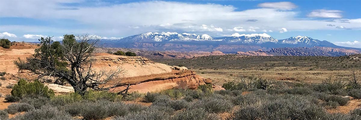
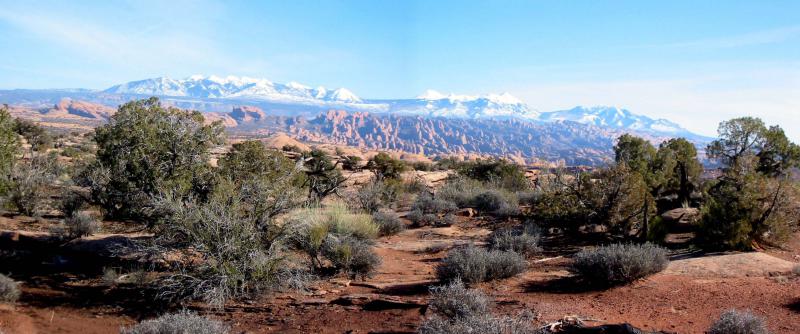
Scenery
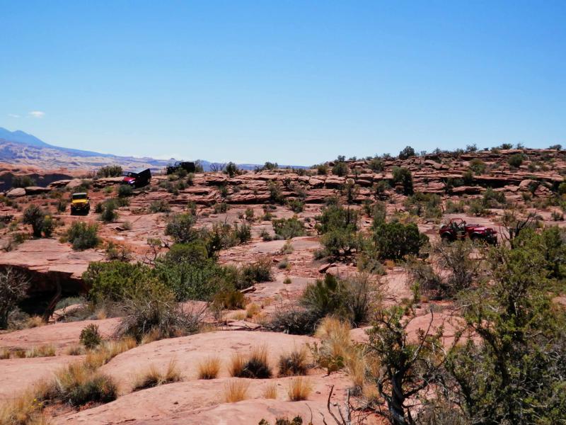
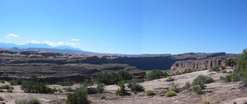
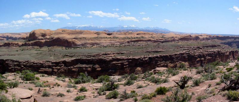
Bordered on the north by Day Canyon, on the south by Long Canyon, and on the east by the Colorado River there is scenery everywhere you look on this trip. The La Sal peaks are constantly in view on the descent, distant views of most of the Golden Spike Trail, parts of the Poison Spider Mesa Trail, the Monitor and Merrimac Buttes, Gooney Bird Rock, Jeep Arch, the Moab Rim Trail, and the far end of the Cliffhanger Trail can all be seen.
Surface
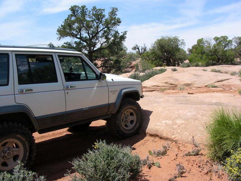
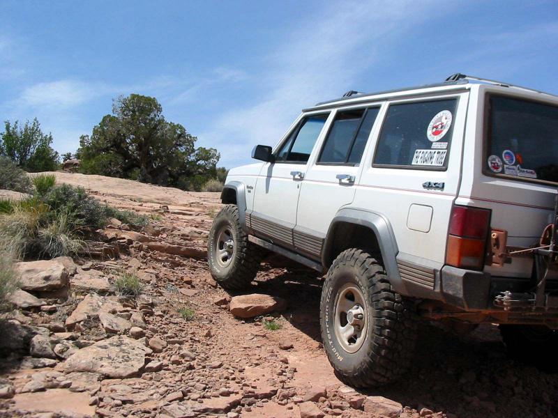
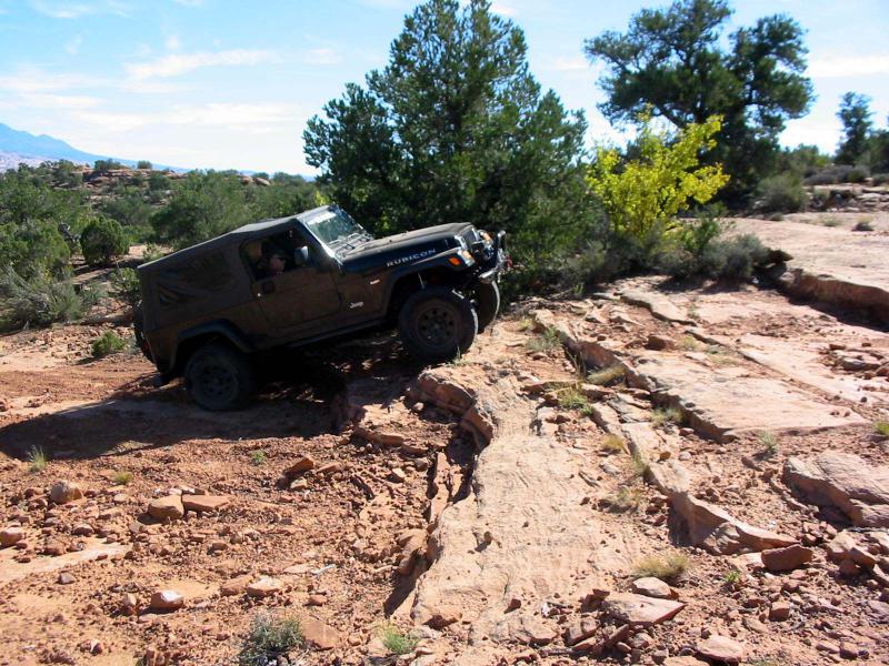
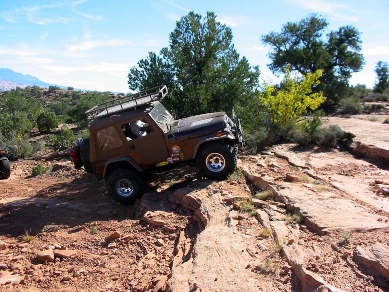
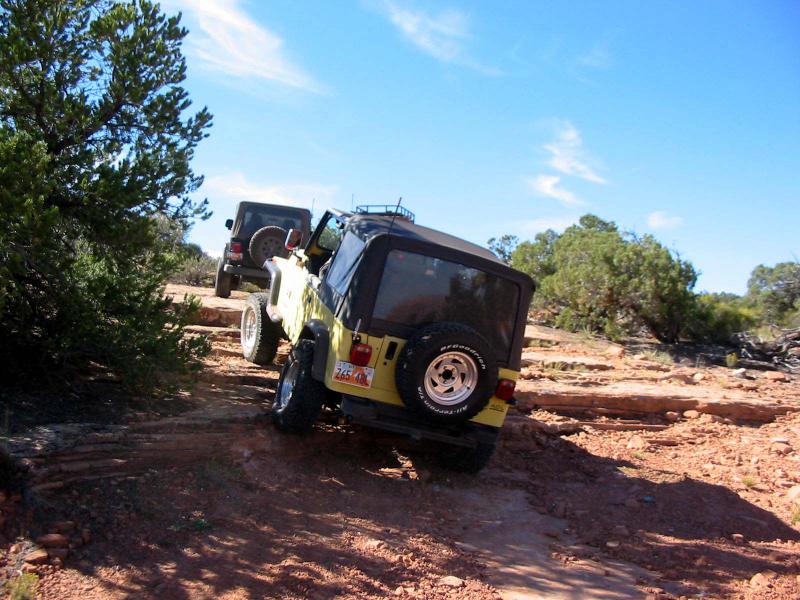
There are two track dirt sections, a lot of descents and climbs on slickrock ledges, and even an occasional section of smooth slickrock.
Trail Details
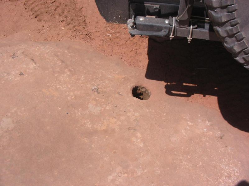
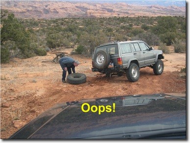
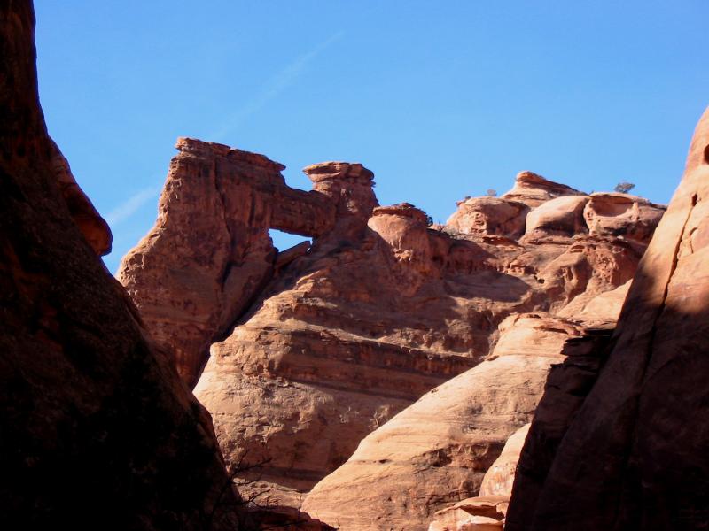
The obstacles are small ledges as the trail encounters different rock layers are crossed. Only one has earned a name-Broken Bill Hill-where a broken axle resulted in a wheel/tire/brake drum assembly departing from a Jeep Cherokee. Some notable rock formation have been named the Puppet Show and the Lodges. There are even several arches that can be viewed with short hikes, but usually there is not enough time to accomodate them.
Trail Rating

Trail Notes
Length: 70 overall, 10 off highwayMin Tire Size: 33+ inches
Winch: No
Front Locker: No
Rear Locker: No
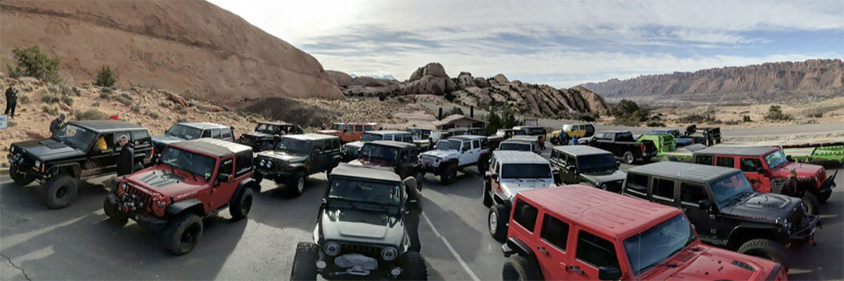
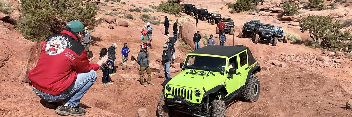
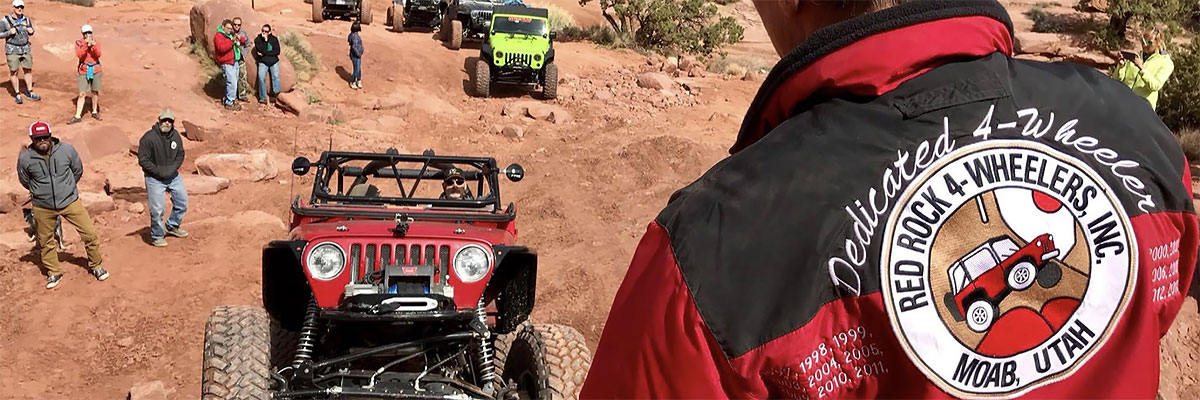
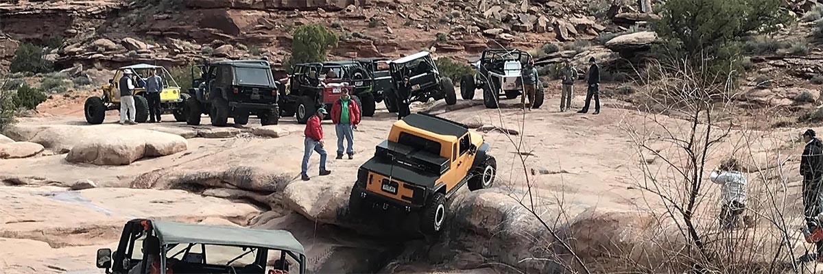
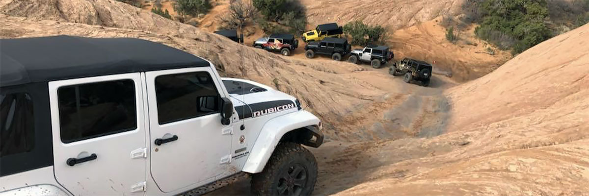
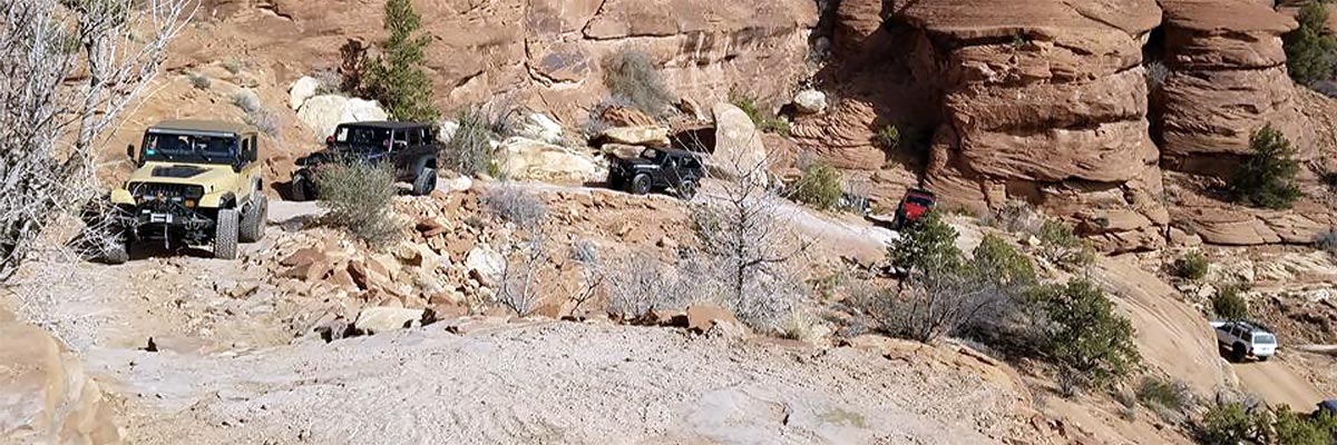
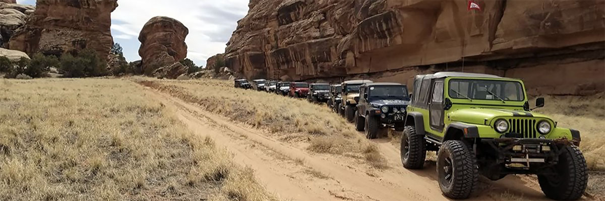
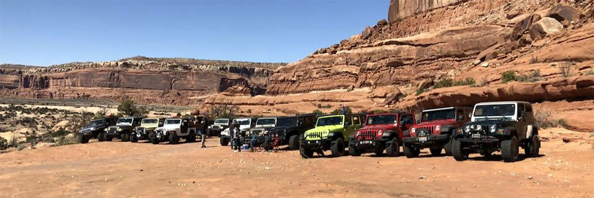
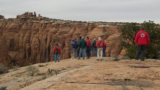
Trail Gallery
 download the kml google earth track