Tommyknocker Trail
This trail is another of the scenic trips offered to the Cameo Cliffs area south of the town of La Sal. It enters the area from a sagebrush flat on the northern end of two large drainages that are eroding canyons into the western slopes of Lisbon Valley. It proceeds to dip into both Hook and Ladder Wash and later Sandstone Draw, and then climbs up to the higher reaches of the edge of the valley before emerging to join a graded road of the western side of the valley. Some old Uranium mine sites can be seen, which gave the trail its name, as well as an abandoned well drill pad displaying the mineral production history of the area. Approximate mileages: 88 overall, 17 off pavement.
Scenery
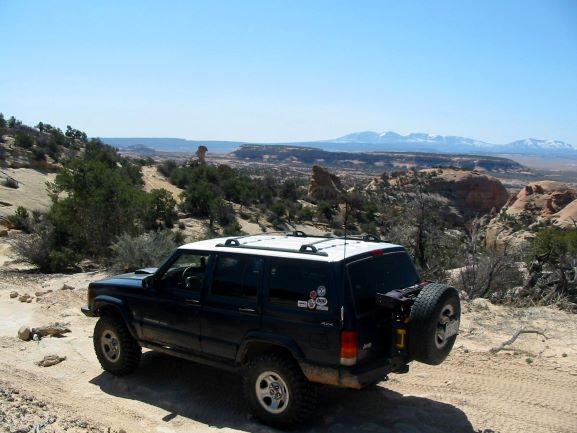
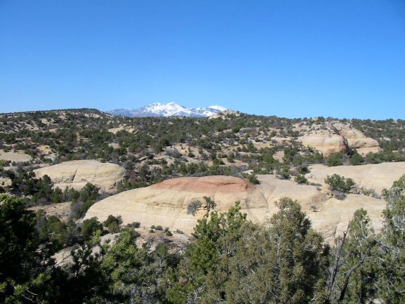
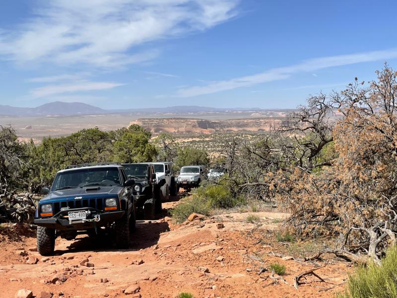
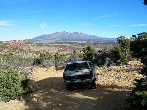
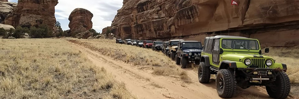
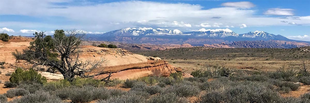
As with the other trails offered to this area the scenery is abundant. The Cameo Mesa and canyon walls contrast with the greens of the pinion-juniper forest, the LaSal Mountains tower into the intense blue skies, and smaller rock formations dot the area. When the trail climbs to 7,000 feet in altitude the views down to the 5,800 foot wash bottoms and Cameo Mesa far below are like those from an observation post. The Abajo Mountains to the south near Monticello dominate the skyline later in the day.
Surface
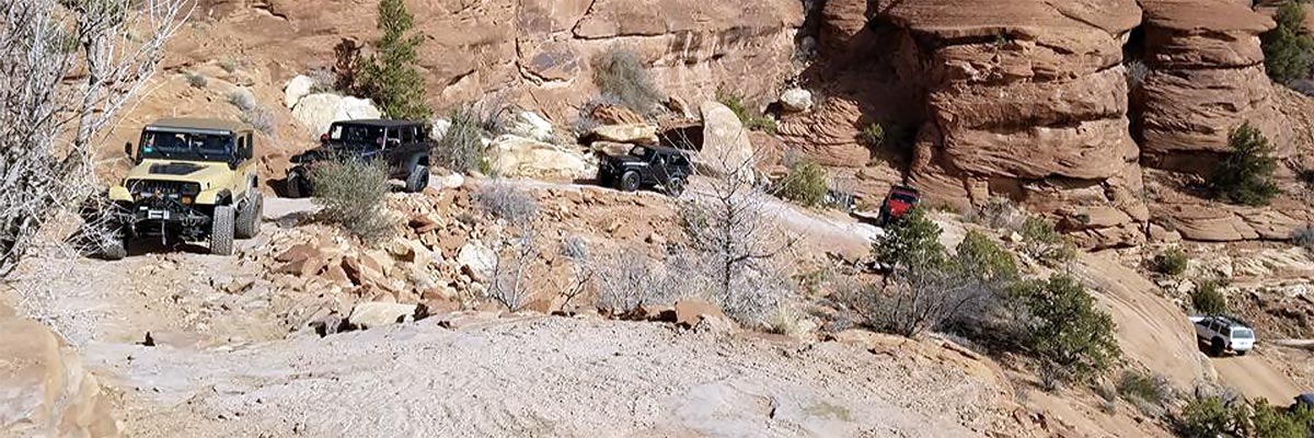
Thirty plus miles of pavement are needed to access this trail. Then graded county roads deliver gravel, dirt, and sandy sections. The four wheeling features a mix of all those enjoyable conditions one comes to Moab for, but in moderate doses. There is some slickrock, a couple of twisty, rough wash bottom crossings, a fun rocky hill climb sprinkled with a few shelves, and some enjoyable sections that twist through the pinion-juniper forest.
Trail Details
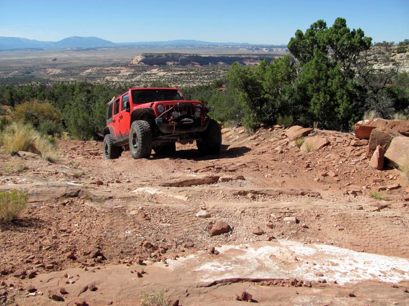
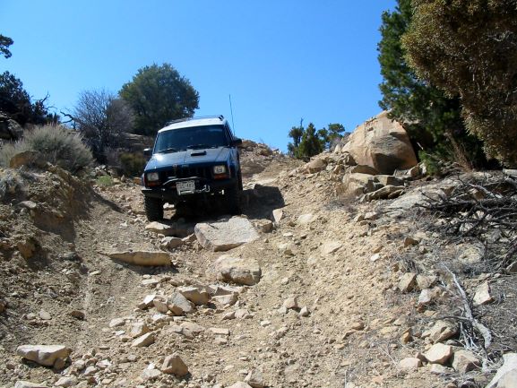
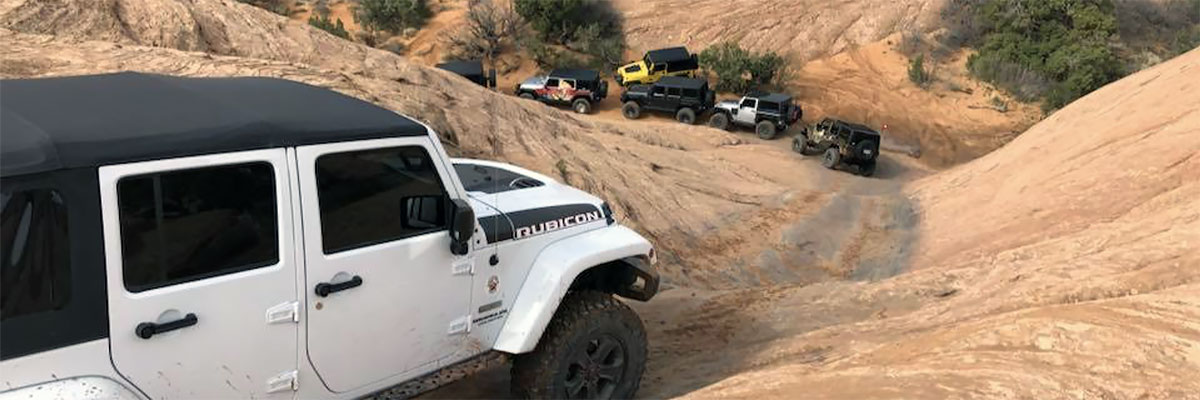
The closeup look at Yak Rock starts the four wheeling, starting a twisty section to climb up to Cameo Ridge. Views from the ridge are panoramic in spots. A descent into Sandstone Draw is bumpy and twisty. This is followed by a long, rocky climb up a challenging hill that encourages proper tire placement to succeed. The next section encounters a short rocky downhill to bring the trip near to the Homestake Mine, a Uranium and Vanadium Mine dating to the mid 1950s. Departing the mine site the trail heads under a power line, descending toward a sagebrush flat, then leaves the power lines to start a winding, scenic, somewhat challenging descent into the bottom of Sandstone Draw. Once there it stays at the bottom of the draw to end at an OHV trailhead that ends the day.
Trail Rating

Trail Notes
Length: 88 total, 17 off pavementMin Tire Size: 31+ inches
Winch: No
Front Locker: No
Rear Locker: No
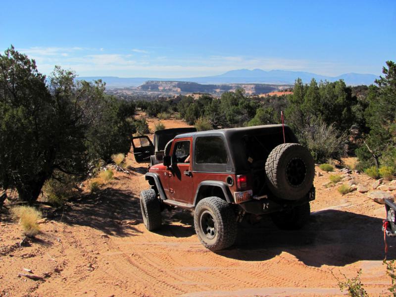
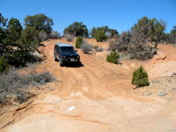
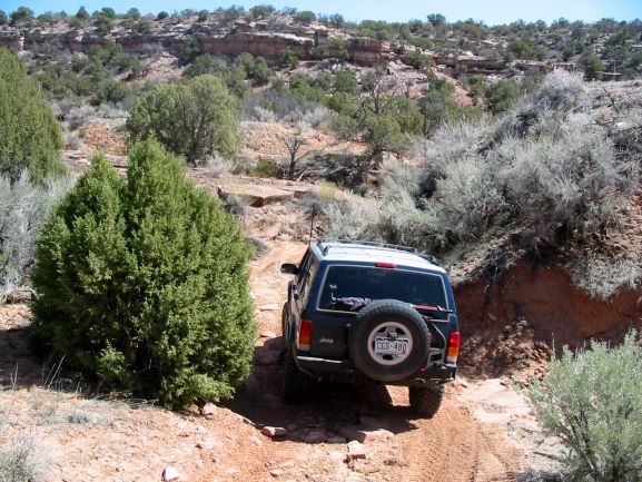
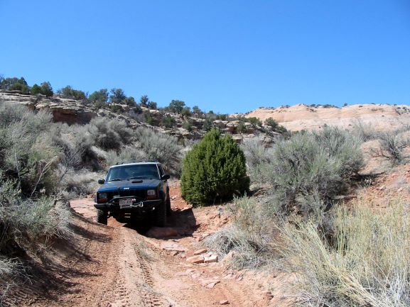
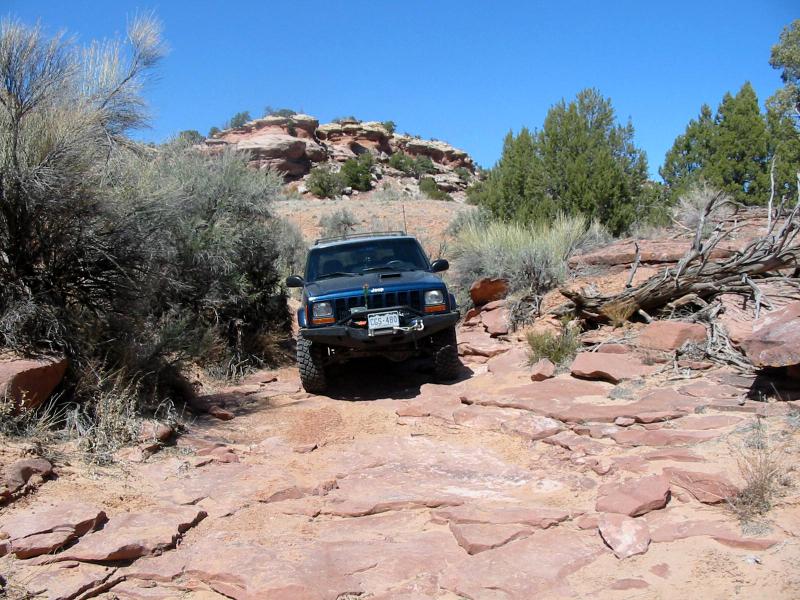
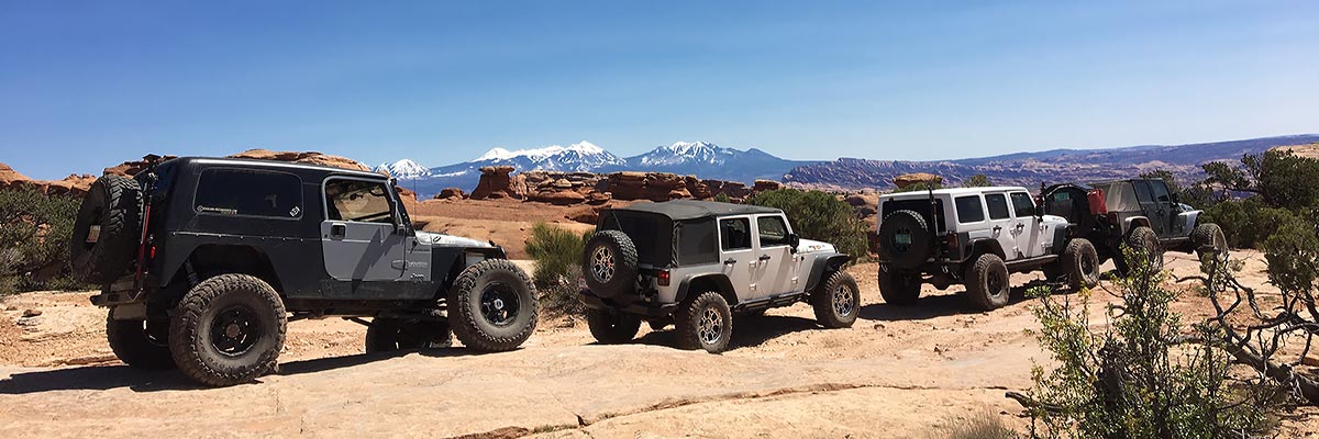
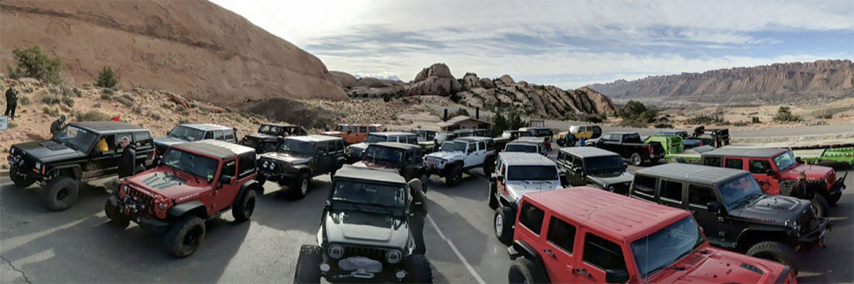
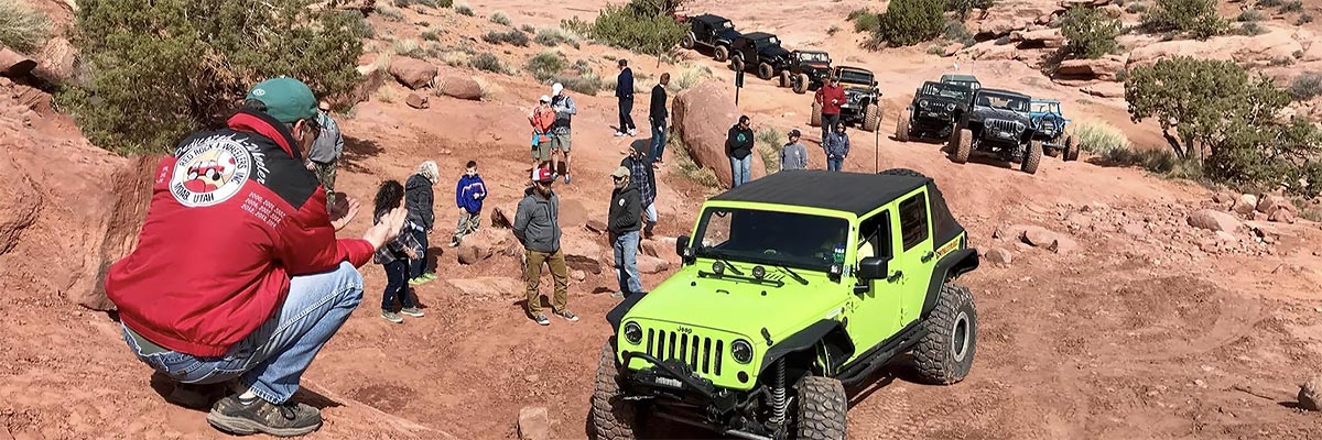
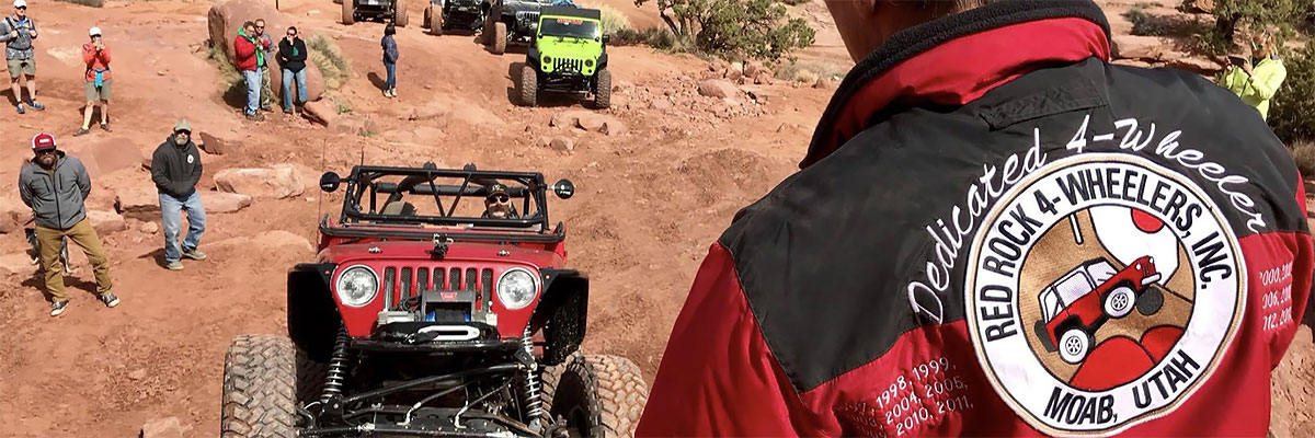
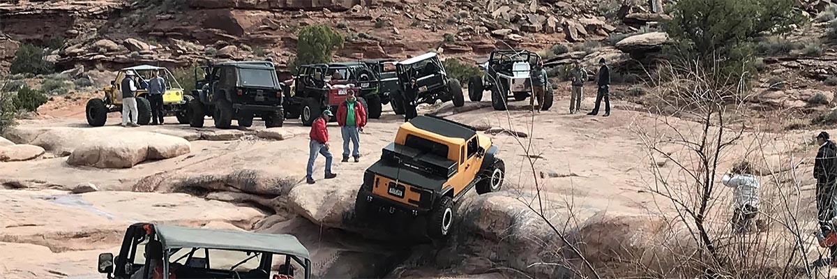
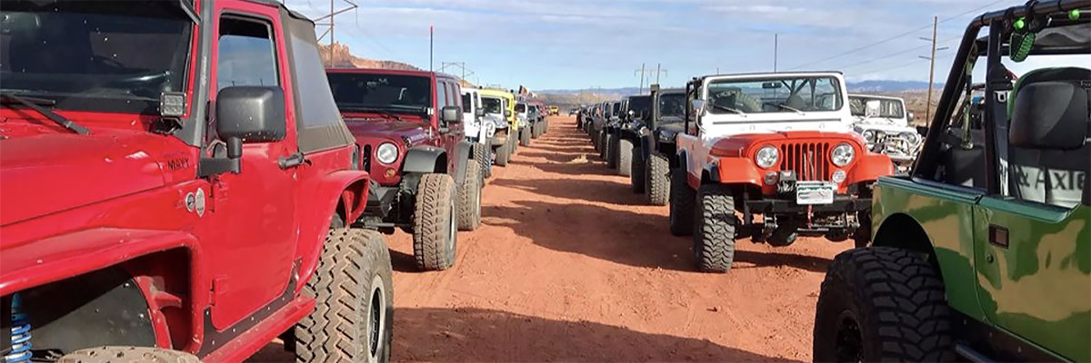
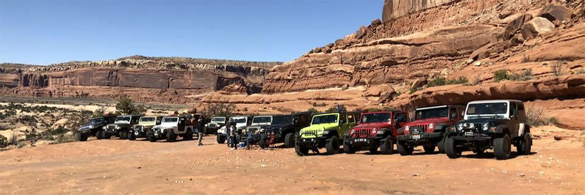
Trail Gallery