Beef Basin - 3-Day
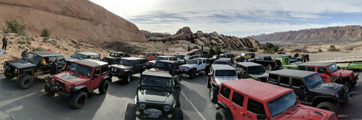
This 3 day 2 night trail departs from Moab. Our route will cover over 335 miles with 140 miles of pavement. Beef Basin is located south and west of Canyonlands (Needles District) the route will climb up to over 8,250 ft. as it enters Elk Ridge and exits the Ridge at around 5,500 ft..
Trip restrictions; Your vehicle must be able to sustain 55 MPH on the highway. You must have all of your camping gear (be self contained).
Special things to consider: You will need to be self contained with food, water and fuel for this adventure.
Camping - The designated campsite will be the same camping area for both nights. There will be no need to pack up on the second day.
Camping - The designated campsite will be the same camping area for both nights. There will be no need to pack up on the second day.
Potluck dinner at least 1 night (4X4 Goulash) and side dishes. Bring an item for the big (Goulash) pot and a side dish. Participation in the Pot Luck is not mandatory as we understand some people have special diets.
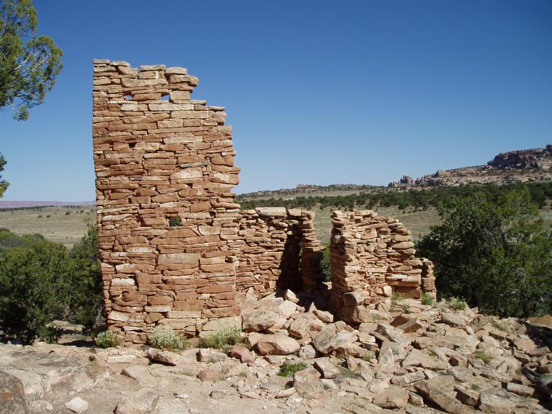
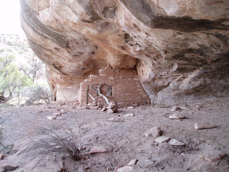
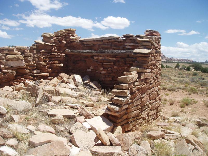
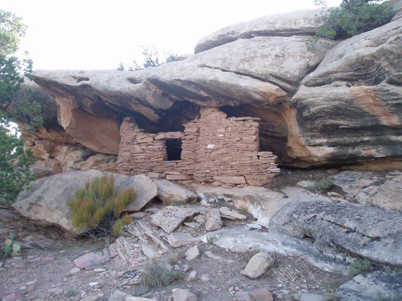
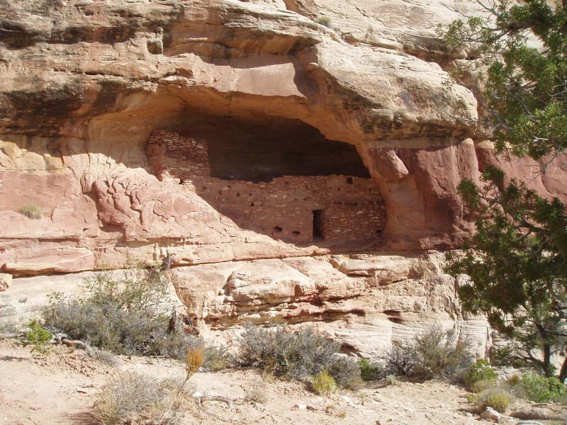
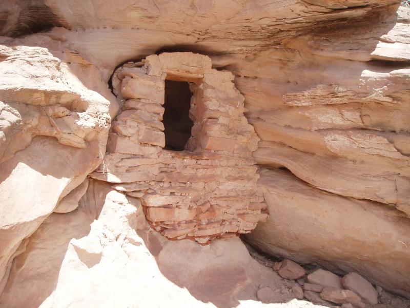
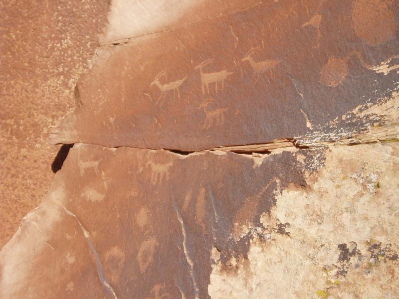
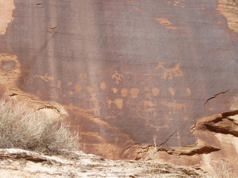
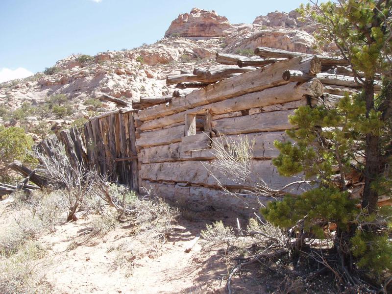
Special considerations; The ancient ruins and rock art are irreplaceable, easily damaged and very unstable. We may photo and enjoy these treasures, but may not enter or touch them as just the oil from your fingers will damage them.
Extra fuel: Depending on your vehicle and fuel capacity you will probably need additional fuel or plan on a stop at Canyonlands outpost (this is outside NP) for additional fuel or make a side trip into Monticello. As an example, a JK
unlimited with a 21 gallon tank will make the round trip from Moab, but an 18 gallon tank may need to stop for a few gallons.
Weather: The last few years have seen daytime temperatures in the mid 70s to low 80s, with nights dropping into the low 60s. Remember, this trip is to an area 2,000 ft higher than Moab, so expect cooler temperatures.
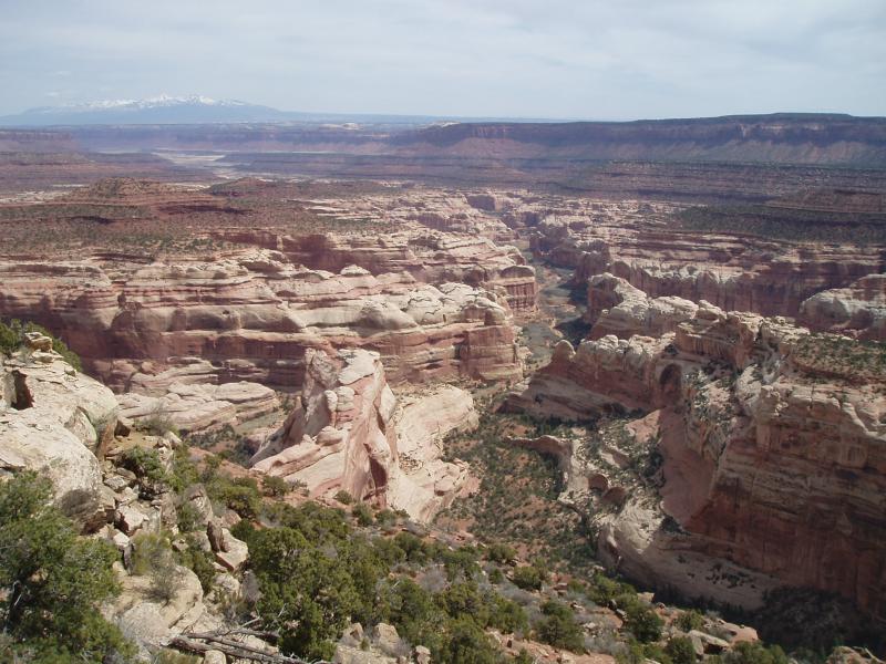
Scenery
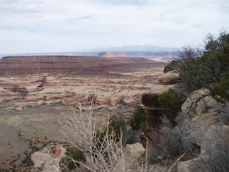
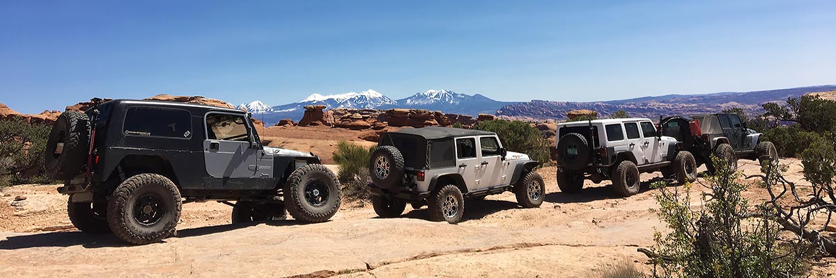
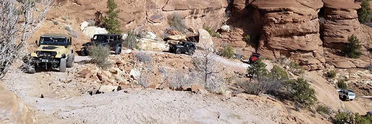
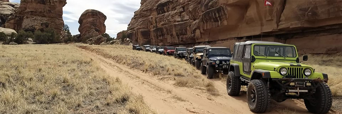
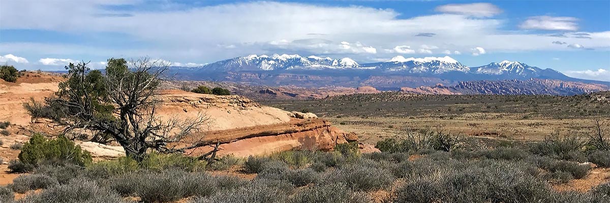
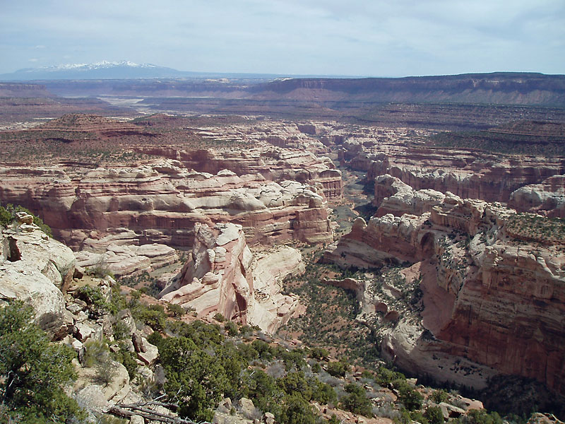
This has some of the finest scenery of the Cedar Mesa formations of balanced rocks and spires found anywhere. We will have some splendid views of Wedding Ring Arch, the La Sal’s, Henry’s and Abajo Mts. We will sneak by the "Bears Ears" along the route. The exciting 4x4 multi day trip has the most fantastic view into the remote Big Pocket, Lavender Canyon, Salt River and the Needles District of Canyonlands (this is the nicest view in all the 4-corners area). There will be some very interesting stops at indian ruins.
Surface
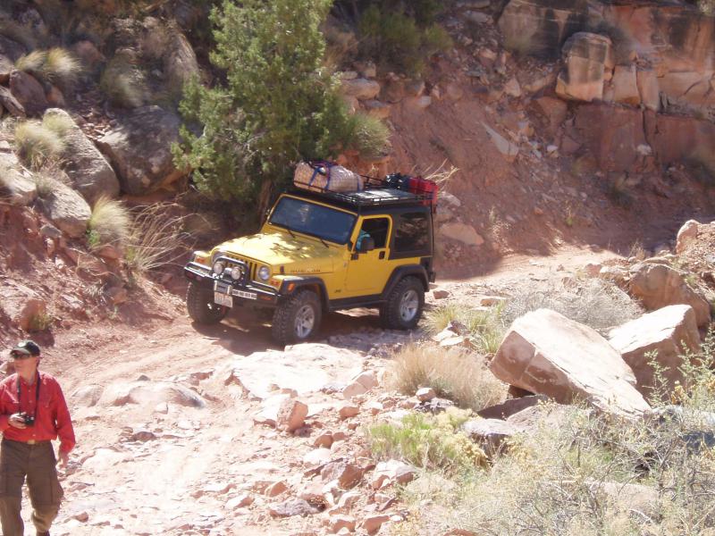
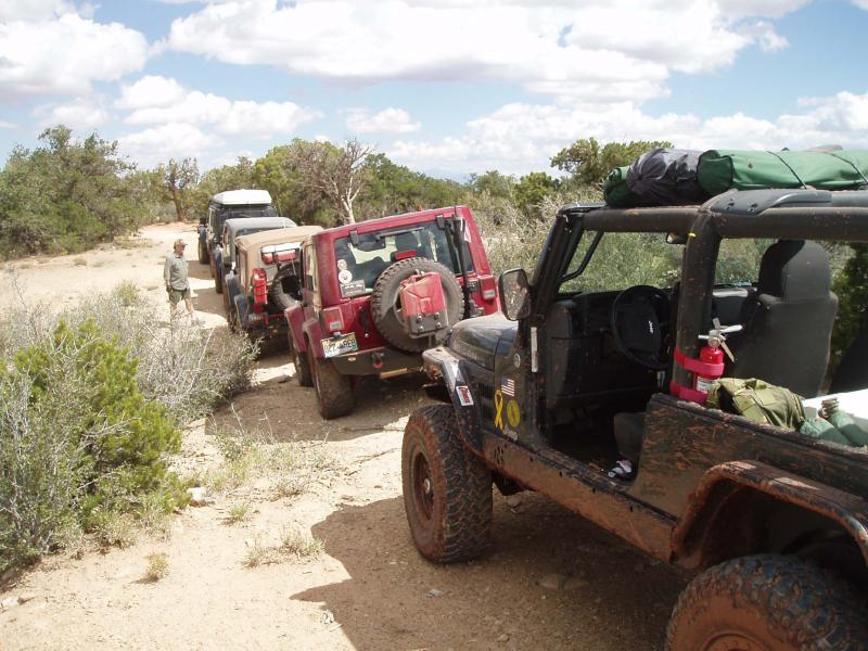
The main challenges are ruts, soft sand and mud if wet. Good hiking shoes are recommended for some short hikes (optional) and an optional longer more challenging hike for those who are up to the challenge.
Trail Details
For your heart and lung consideration elevations on this trip will reach 8,250 feet. Ruts, soft sand and mud if wet are the main obstacles.
Trail Rating

Trail Notes
Length: 335 total, 185 dirtMin Tire Size: 33+ inches
Winch: No
Front Locker: No
Rear Locker: No
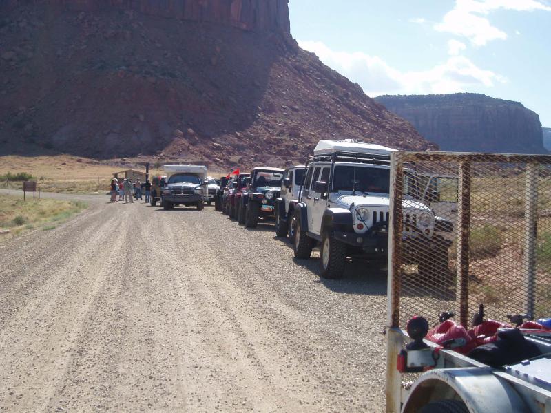
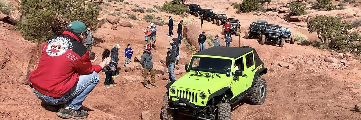
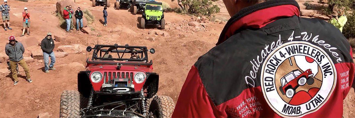
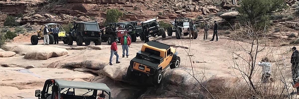
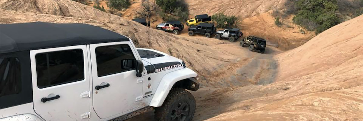
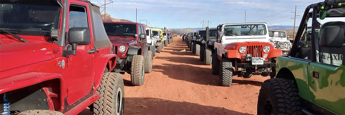
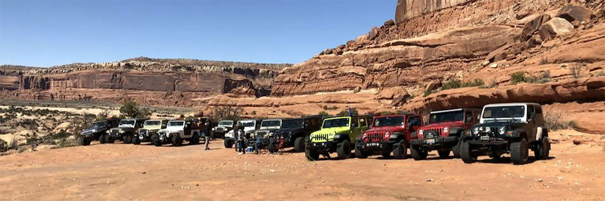
Trail Gallery