
Poison Spider Mesa
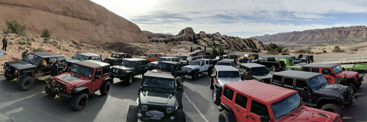
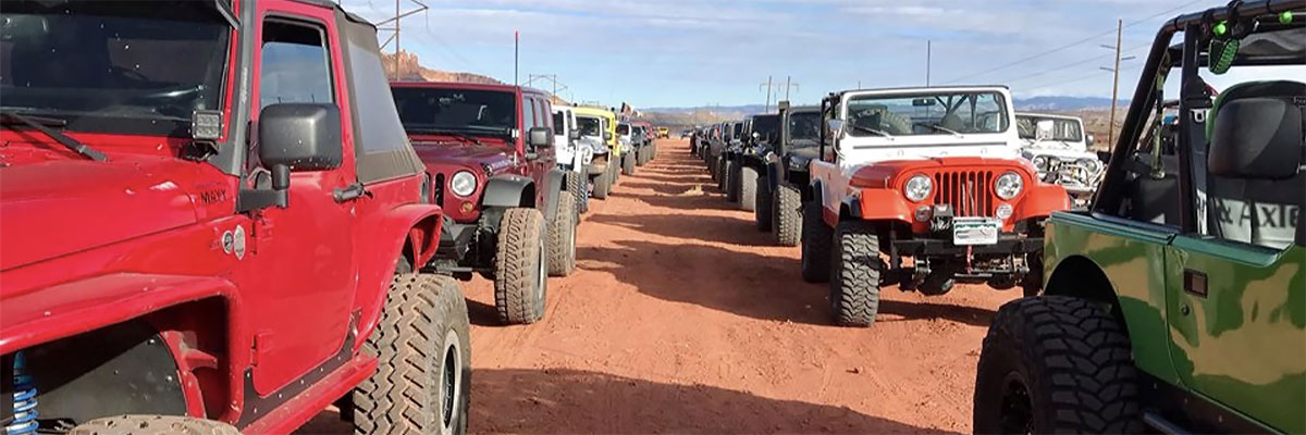
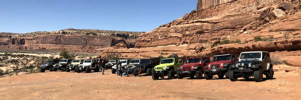
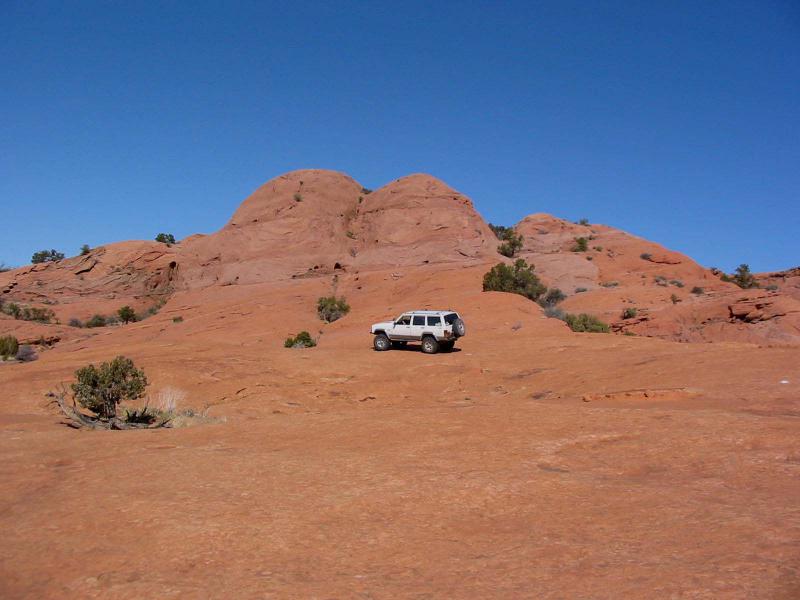
 Poison Spider Mesa forms one of the cliff features that is part of the Moab landscape northwest of town. The mesa is bordered on the east by Moab Valley and on the south by the Colorado River. Access is via Scenic Byway 279. The trail climbs to the rim via the sloping rock layers. The first few miles of trail must be retraced, but most of the travel time will be spent on a loop that reaches the rim. It has become one of our most popular trails because it has great scenery and because the jeeping is just challenging enough to be fun without quite being a vehicle buster. Incidentally, we love the name, but the population of Black Widows is probably no greater than other local areas. Approximate mileages: 37 total, 16 off highway.
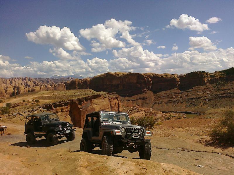
Scenery
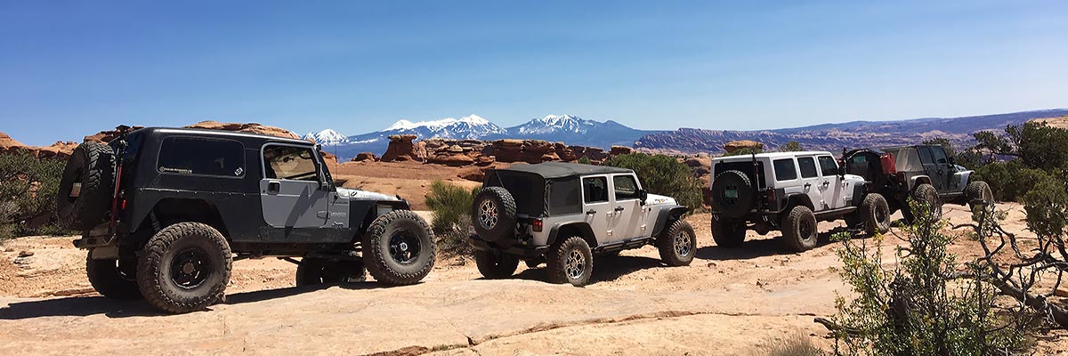
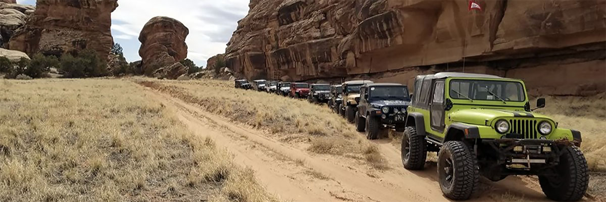
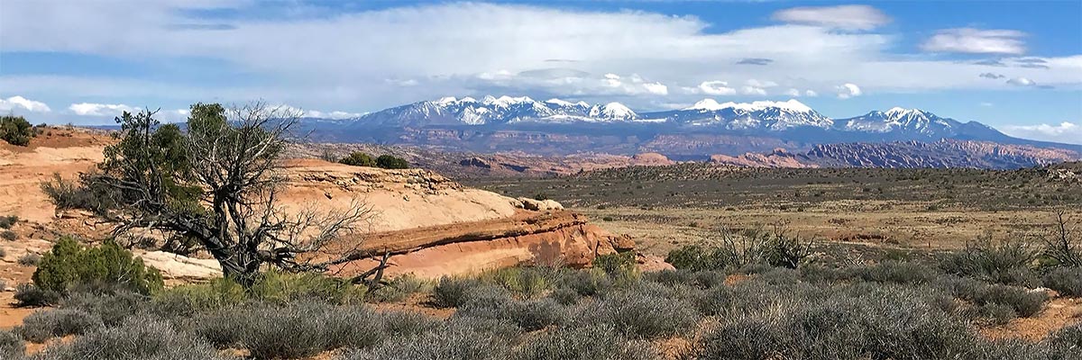
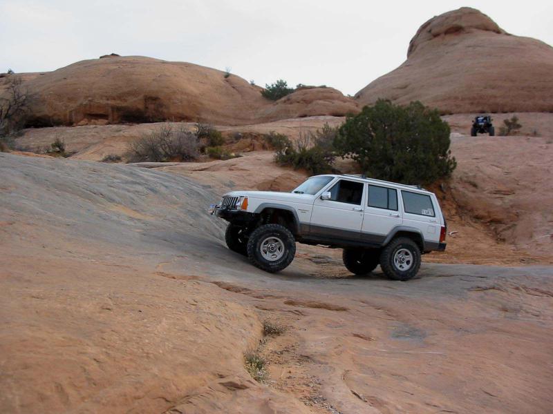
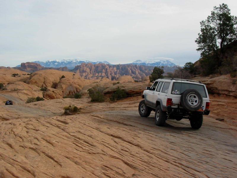
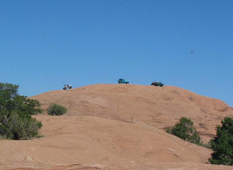
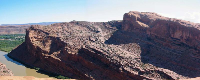
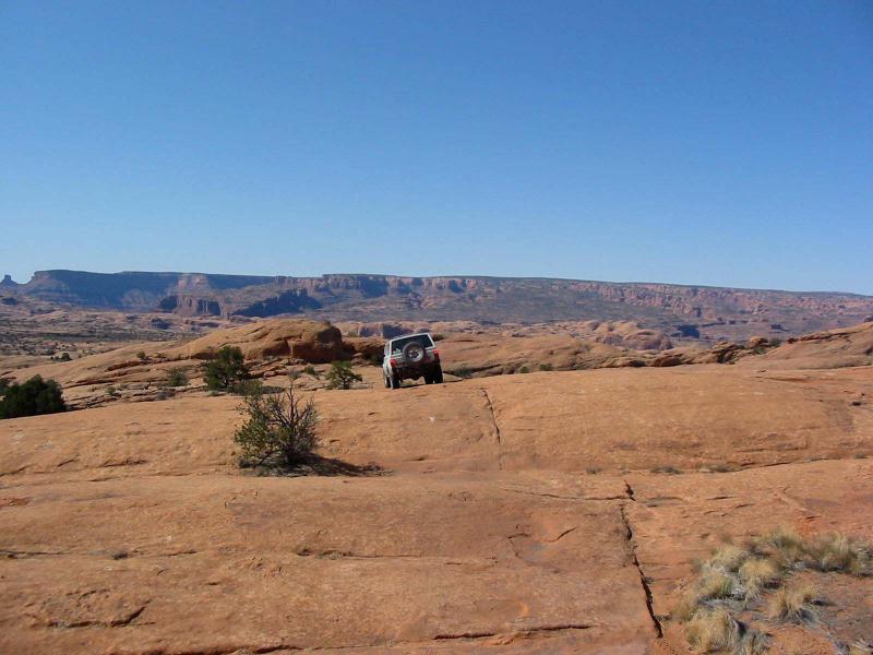
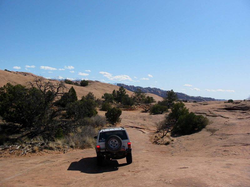
The vista across the fins of Behind the Rocks toward the La Sal Mountains is as fine as they come. The rim view overlooks Moab 1,000 feet below and includes a 300 degree panorama. . The usual lunch stop is a short hike to so-called "Little Arch." Jeep Arch is seen clearly from the rim.
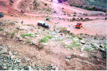
Surface
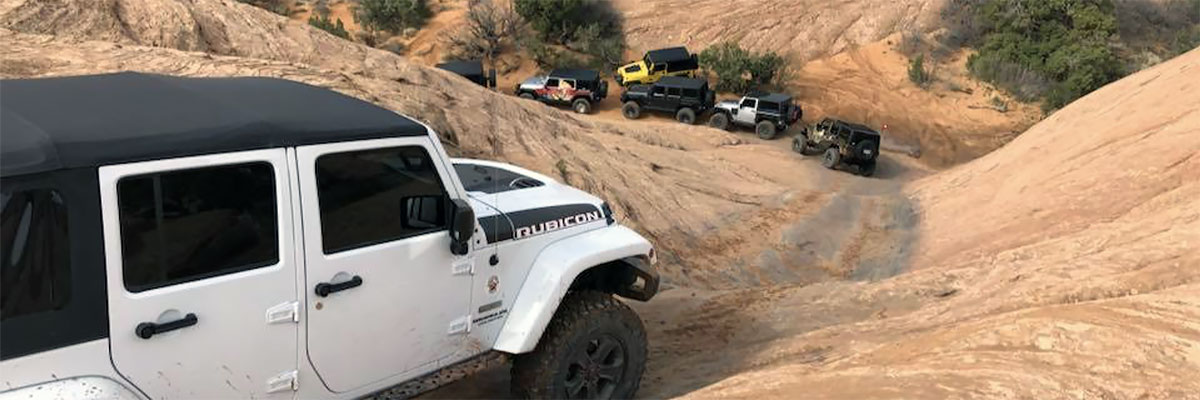
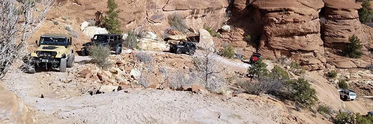
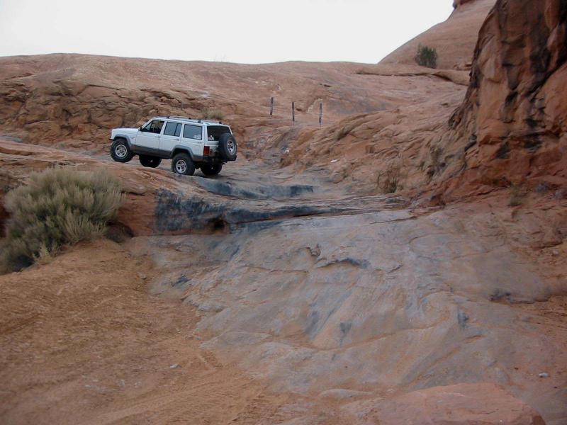
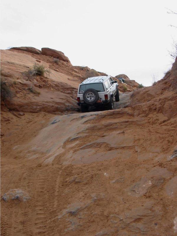
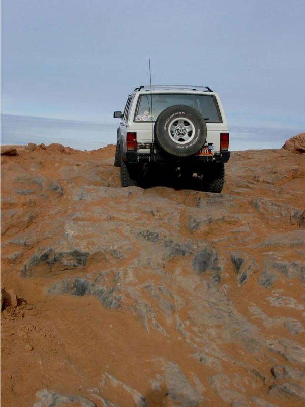
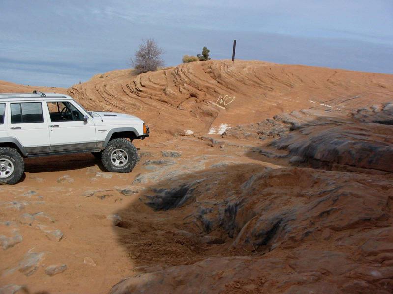
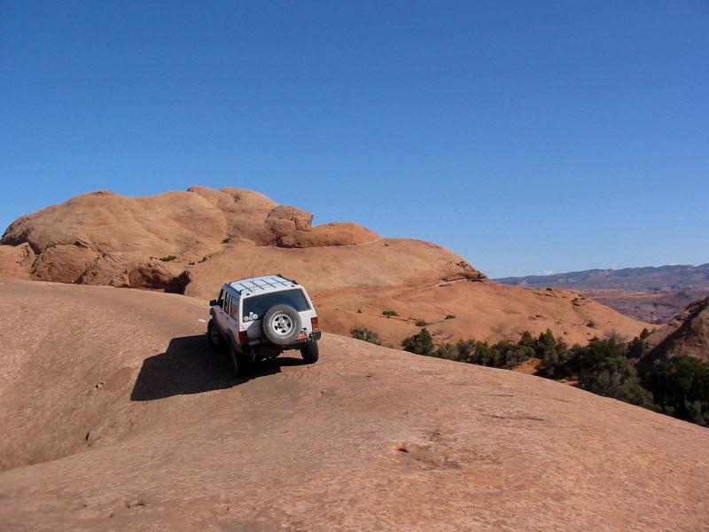
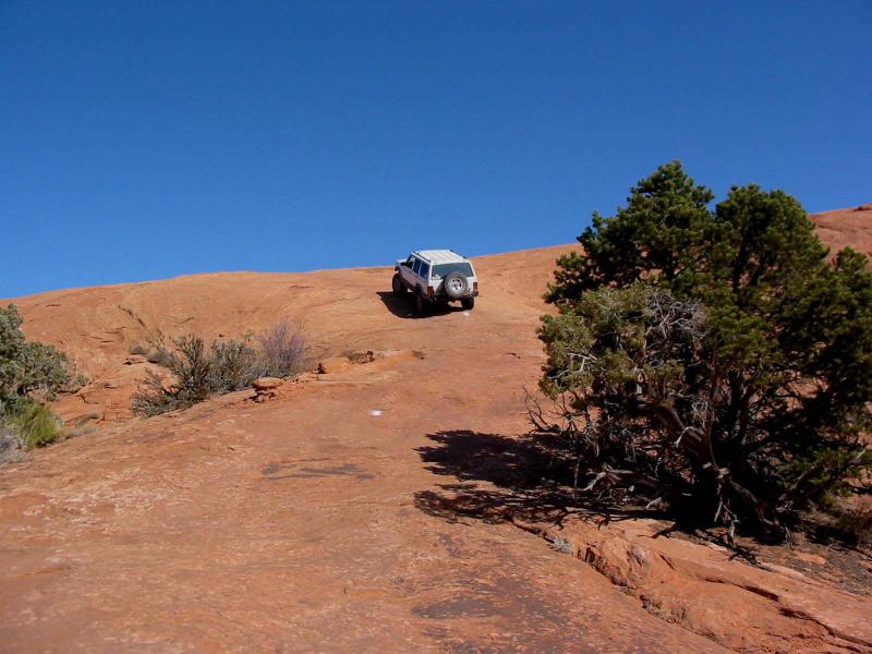
Much of the loop portion is on Navajo Sandstone slickrock, with one stretch of 0.4 miles of bare rock. There are also rock ledges, sandy washbottom, and two blow-sand hills.
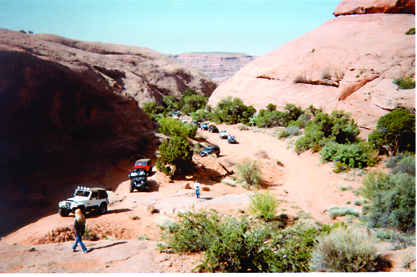
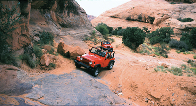
Trail Details
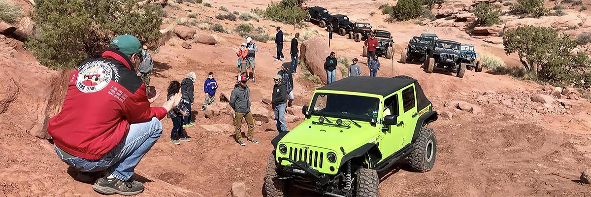
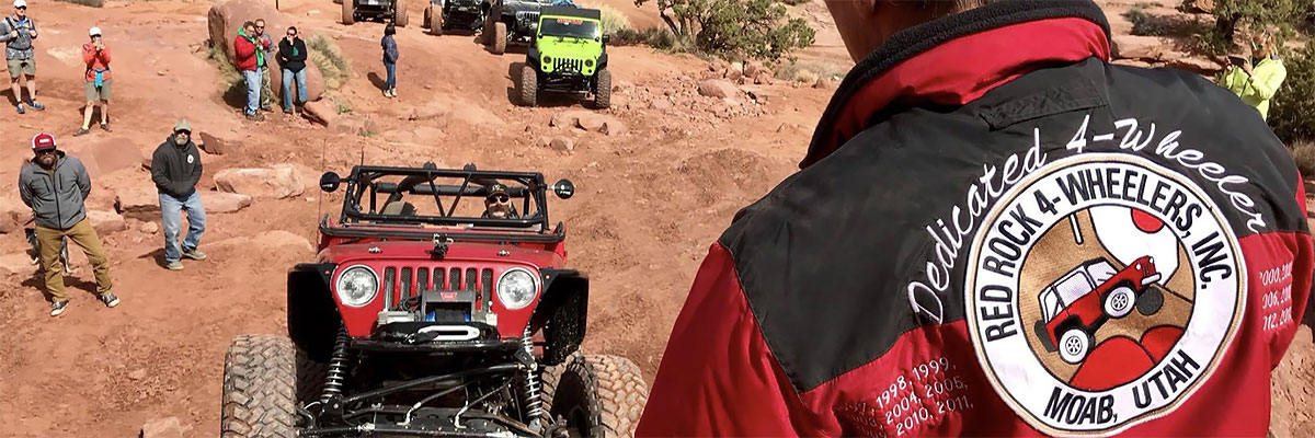
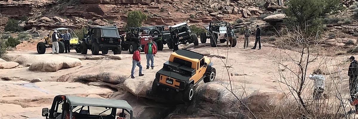
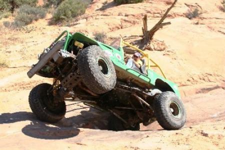
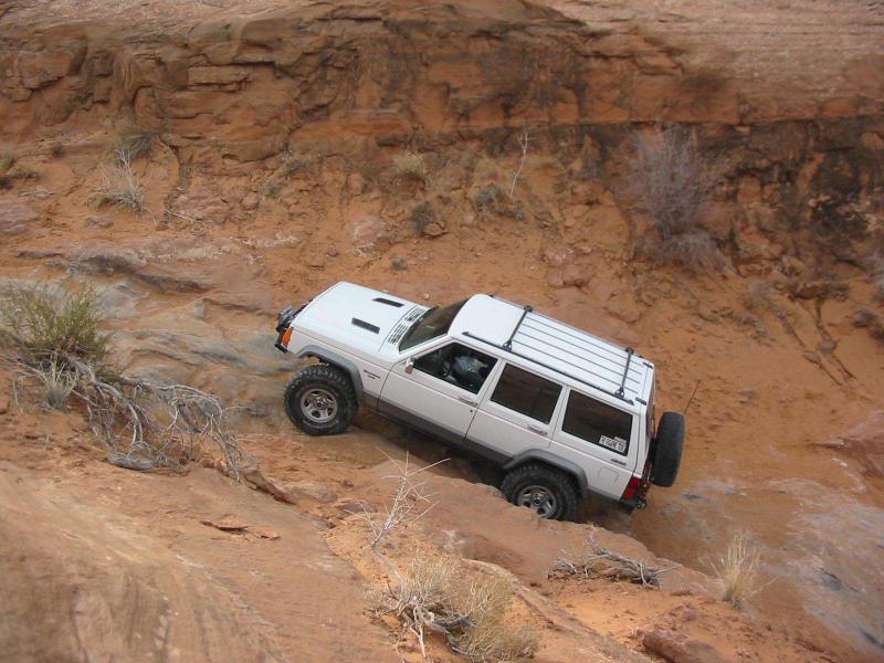
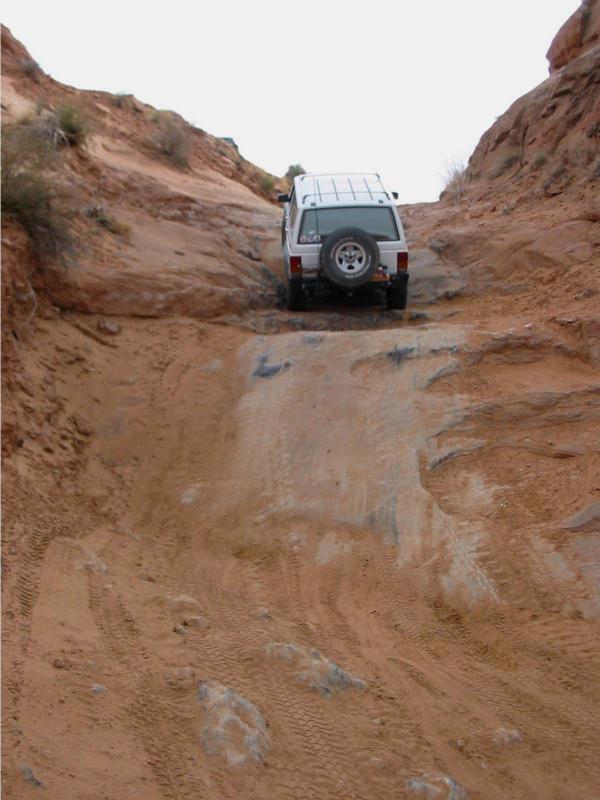
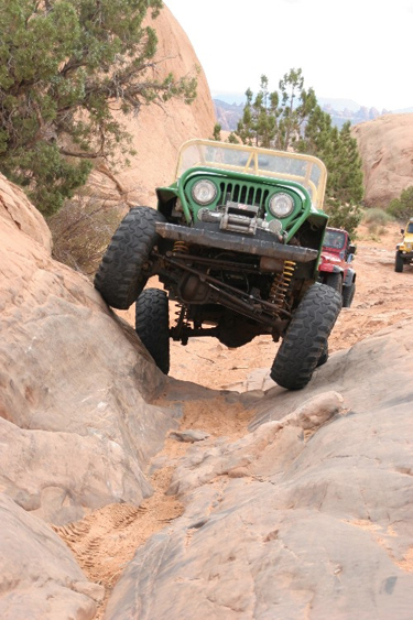
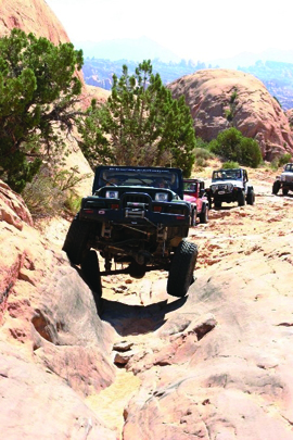
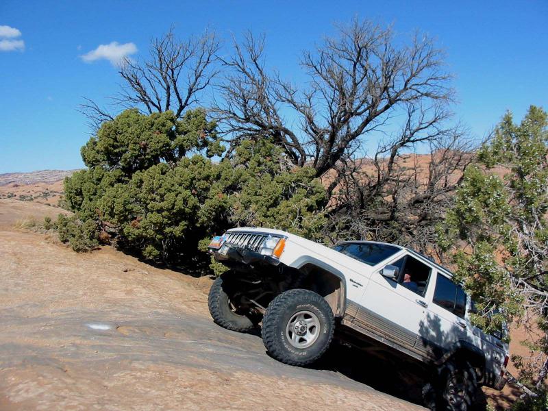
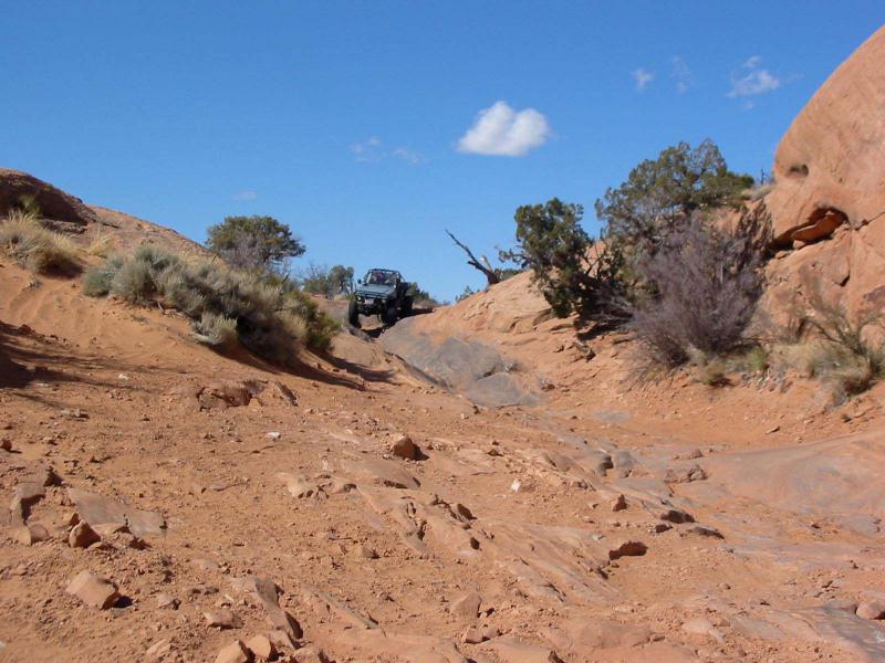
After some initial switchbacks that travel is making tougher, and a sandy flat stretch, a sandy canyon leads to the "Waterfall". Ascent is over several rock ledges in the next quarter mile that give the trail its rating. There is an optional V notch section that makes for great pictures, either triumphant or tragic. The scenery all day is worth the trip by itself.
Trail Rating

Trail Notes
Length: 37 total, 16 off highwayMin Tire Size: 35+ inches
Winch: No
Front Locker: Yes
Rear Locker: Yes
Trail Gallery


 download the kml google earth track